

Geology - Inside the Earth
- Geology
- Texas A&M University
- 22 pages
- Shared March 2026
Preview 7 of 22 pages
See the first 7 pages exactly as they appear in the document.
Page 1 Read page 1 as text
Study Guide Geology – Inside the Earth 1. The Earth’s Crust The crust is the thin, outermost layer of the Earth. Even though it feels solid and huge to us, it is actually very thin compared to the rest of the planet. Scientists have learned a lot about the crust by studying how earthquake waves move through it. 1.1 Crust Composi Ɵ on: What the Crust Is Made Of Scientists use P waves (a type of earthquake wave) to study Earth’s interior. These waves travel at different speeds depending on the type of rock they move through. • In oceanic crust , P waves travel faster — about 7 km per second . • In continental crust , they travel a bit slower — about 6 km per second . These speeds match the types of rocks found in each crust: • Oceanic crust is mostly basalt and gabbro . These rocks are rich in magnesium and silica , and this composition is sometimes called sima . • Continental crust is mainly made of rocks like granite and gneiss , which contain lots of silica and aluminum . This type of composition is called sialic . So, by measuring wave speeds, scientists can tell what kinds of rocks make up different parts of the crust. 1.2 Crust Thickness and Density: Not All Crust Is the Same The crust also differs in thickness and density . • Continental crust is quite thick, ranging from 30 to 50 km (18 – 30 miles). • Oceanic crust is much thinner, only about 5 to 8 km (3 – 5 miles). The continental crust is thickest under mountain ranges . Here, it pushes downward into the mantle, forming what is called a mountain root , much like the roots of a tree underground.
Page 2 Read page 2 as text
Study Guide Density matters too: • Continental crust has a density of about 2.7 g/cm³ . • Oceanic crust is denser, about 3.0 g/cm³ . Because it is less dense, continental crust can “float” higher than oceanic crust, similar to how a piece of wood floats on water. 1.3 The Mohorovicic Discon Ɵ nuity (Moho): A Major Boundary The Mohorovicic discontinuity , usually called the Moho , is the boundary between the crust and the mantle . It is the first major internal boundary inside the Earth. The Moho is named after Andrija Mohorovicic , who discovered it in 1909 . His work provided the first strong evidence that Earth has layers inside it. • The depth of the Moho varies from about 5 km to 50 km (3 – 30 miles) below the surface. • It is shallow beneath oceans and much deeper beneath continents, especially under mountains. 2. The Mantle The mantle lies beneath the crust and makes up most of Earth’s interior. Scientists study the mantle mainly by observing how seismic (earthquake) waves move through it. These waves give us important clues about what the mantle is like inside. 2.1 Upper and Lower Mantle: Two Main Parts Seismic data show that most of the mantle is made of solid rock . In fact, P waves travel through the mantle at an average speed of about 8 km per second . This fast speed suggests the mantle is made of ultramafic rocks , especially peridotite , which are rich in iron and magnesium. Based on how P waves behave, scientists divide the mantle into two main layers: • Upper mantle ○ Starts just below the crust, at depths of about 5 to 50 km (3 – 30 miles)
Page 3 Read page 3 as text
Study Guide ○ Extends down to about 670 km (400 miles) • Lower mantle ○ Begins at about 670 km (400 miles) ○ Extends all the way down to 2,900 km (1,740 miles), where it meets the outer core 2.2 The Lithosphere: Earth’s Rigid Outer Shell Changes in P wave speeds reveal another important structure inside Earth. The lithosphere is made up of: • The crust • The uppermost part of the mantle This layer forms Earth’s brittle, rigid outer shell — the part that breaks into tectonic plates. • Under the oceans , the lithosphere is about 75 km thick • Under continents , it can be as thick as 175 km • Its maximum depth is thought to be no more than 200 km (120 miles) 2.3 The Asthenosphere: A Weaker, So Ō er Layer Below the lithosphere lies the asthenosphere . At this boundary, P waves slow down , which tells scientists the rock here behaves differently. Key features of the asthenosphere: • Also called the low - velocity zone • About 200 km thick • Rocks are hotter , weaker , and partially melted • Material here is more plastic , meaning it can slowly flow Because it is weaker, the asthenosphere is thought to be the layer on which tectonic plates move . It is also considered a possible source of magma .
Page 4 Read page 4 as text
Study Guide 2.4 Other Important Boundaries in the Mantle Seismic data show two more important boundaries within the mantle, at depths of: • 400 km (240 miles) • 670 km (400 miles) These boundaries are not caused by changes in chemistry, but by high pressure and temperature . Under these conditions: • Minerals rearrange their atomic structure • They become more compact and denser This means the mantle may be chemically similar throughout , but its mineral composition changes with depth . The 670 km boundary is especially important. Scientists believe it marks both: • A physical boundary • A chemical boundary between the upper and lower mantle 2.5 The Lower Mantle: Deep and Powerful The lower mantle is very thick and extends down to the outer core. It is believed to consist of ultramafic rocks that are: • Plastic • Possibly partially melted • Extremely hot and under intense pressure 3. Isosta Ɵ c Equilibrium The Earth’s outer shell is not fixed in place. Instead, it stays balanced through a process called isostatic equilibrium , often shortened to isostasy . This idea helps explain why mountains are tall, why continents sit higher than oceans, and why the crust can slowly rise or sink over time.
Page 5 Read page 5 as text
Study Guide 3.1 Floa Ɵ ng Crust and Balance Large plates made of crust and upper mantle , together called the lithosphere , rest on top of the softer, denser asthenosphere . Even though everything is solid rock, this setup works a bit like floating. • The lithosphere “floats” on the slowly flowing asthenosphere. • How deep a block of crust sinks depends on its weight . • Heavier blocks sink deeper. • Lighter blocks sit higher. This balance between the crust and the mantle is what we call isostasy . 3.2 Mountains and Mountain Roots Tall landforms like mountain ranges have a lot of mass. Because of this: • A tall block of crust pushes deeper into the mantle . • This deep extension is called a mountain root . • The higher the mountain, the deeper the root below it.
Page 6 Read page 6 as text
Study Guide When crustal blocks are separated by faults , each block can settle at a different height, depending on how heavy it is. 3.3 A System That Adjusts Over Time Isostasy is not a one - time process. It constantly adjusts as the surface of the crust changes. For example: • When a mountain range erodes , material is removed. • The crust becomes lighter and begins to rise upward . • The eroded material is deposited as sediment nearby. • These sediment - covered areas become heavier and sink deeper into the asthenosphere. Regions that are tectonically stable (with little plate movement) are usually close to perfect isostatic balance. Scientists can even estimate the viscosity of the mantle by measuring how fast the crust adjusts to these changes. 3.4 Ice Sheets and Crustal Rebound A clear real - world example of isostasy comes from the Pleistocene Epoch , when thick ice sheets covered large parts of the continents. • The massive weight of the ice pushed the crust downward . • When the ice melted, the weight was removed. • The crust then began to slowly rise back up . This process is called crustal rebound , and it is still happening today in parts of Great Lakes . 3.5 A Possible Link to Mountain Building Some geologists suggest that plate subduction may create large bodies of magma that stick to the bottom of continents and cool there. • This would make the crust thicker and heavier . • To maintain isostatic balance, the crust would need to rise , forming mountains.
Page 7 Read page 7 as text
Study Guide However, this idea is not widely accepted , and scientists continue to study how mountains form. 4. The Earth’s Core The core is the deepest part of the Earth. Scientists cannot see it directly, so they rely on seismic waves from earthquakes to learn what it is like. By studying how these waves travel — or fail to travel — through Earth, scientists have uncovered important details about the core’s structure and composition. 4.1 Shadow Zones: Clues from Seismic Waves When an earthquake happens, it sends out different types of seismic waves. Two important ones are P waves and S waves . P - Wave Shadow Zones • P waves can travel through solids, liquids, and gases. • When P waves reach the core , they bend (refract) inward . • This bending creates areas on the opposite side of the Earth where no P waves are detected. These areas are called P - wave shadow zones . They lie between: • The last P waves that travel straight through the mantle, and • The first P waves that are bent as they pass through the core. By studying these shadow zones, scientists can estimate the location, size, and shape of the core.
15 more pages in the full document
Unlock it once and it stays in your library, ready to chat with or turn into flashcards.
Unlock the full documentMore Geology study materials
See all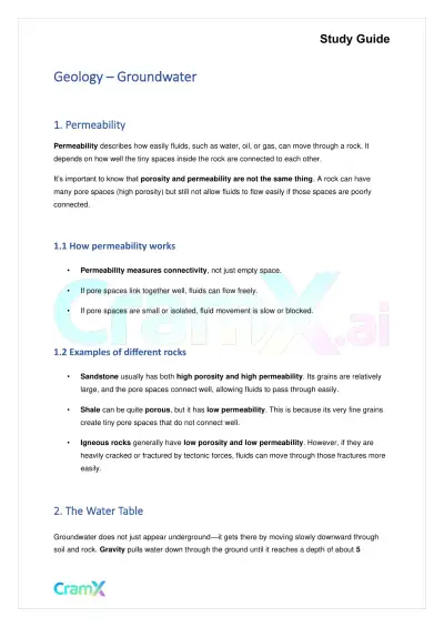 Quick Guides
Geology - Groundwater
Geology
16 pagesMar 2026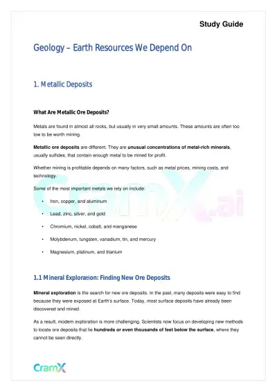 Quick Guides
Geology - Earth Resources We Depend On
Geology
16 pagesMar 2026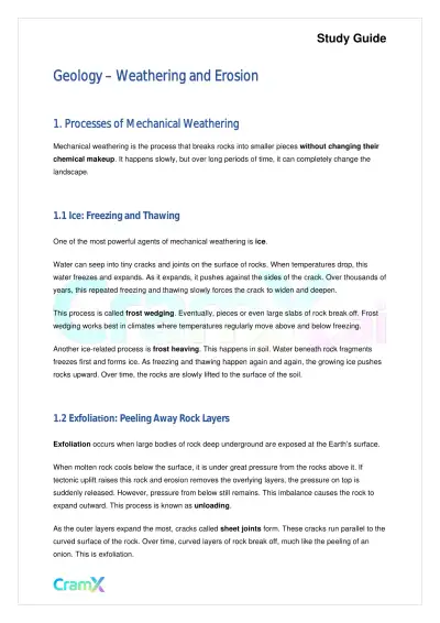 Quick Guides
Geology - Weathering and Erosion
Geology
11 pagesMar 2026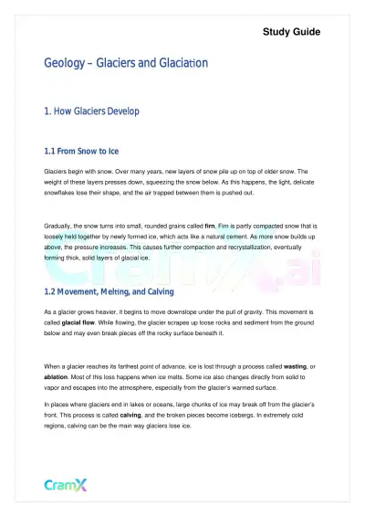 Quick Guides
Geology - Glaciers and Glaciation
Geology
21 pagesMar 2026 Quick Guides
Geology - Introduction to Physical Geology
Geology
10 pagesMar 2026 Quick Guides
Geology - Metamorphic Rock Types
Geology
16 pagesMar 2026 Quick Guides
Geology - Running Water
Geology
19 pagesMar 2026 Quick Guides
Geology - The Ocean Floor
Geology
21 pagesMar 2026
Study this document with CramX
Once it is in your library, every tool can work from it.